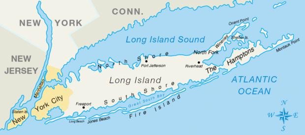
I really have been fascinated by the geography lesson here. For instance even though world geography is actually a strong point of mine, some U.S. geography I'm pretty weak on. For example I've heard of The Hamptons all my life. I've heard repeatedly throughout my life of Fire Island and how important it has been in the context of gay culture and history here in the U.S. But I freely admit I had only the vaguest idea of where those places were. Northeastern coastline certainly. But where exactly? I admit I didn't have a clue. haha Until now.
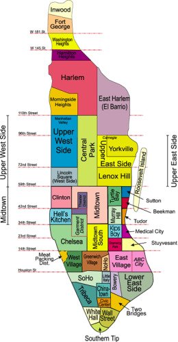
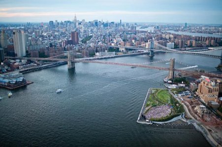
I knew that New York City had all these different "boroughs" (I really didn't know how many) and that Staten Island and Manhattan were separate islands within the boundaries of New York City. But I didn't realize how strangely the city is laid out on a map, by being on so many very separate land masses. Staten Island (and even Manhattan to some degree) looks like it could just as easily have been a part of New Jersey. Long Island looks like it could just as easily have been its own state. To the naked eye, the only borough that looks like it would be part of a New York "city" would be the northernmost one...The Bronx. As typical cities go, the borders of NYC are a very unusual combination of geographical and historical circumstances.
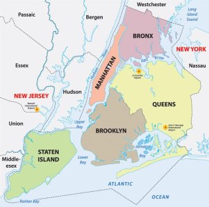
What started out as just a quick post to tease my friend Mikey (and poke the bear, lol) turned into my learning some valuable and interesting information about the city in which he lives.
Last edited:


